Houses on Waldram Park Road
Introduction
The photograph on this page of Houses on Waldram Park Road by Danny P Robinson as part of the Geograph project.
The Geograph project started in 2005 with the aim of publishing, organising and preserving representative images for every square kilometre of Great Britain, Ireland and the Isle of Man.

There are currently over 7.5m images from over 14,400 individuals and you can help contribute to the project by visiting https://www.geograph.org.uk
Houses on Waldram Park Road
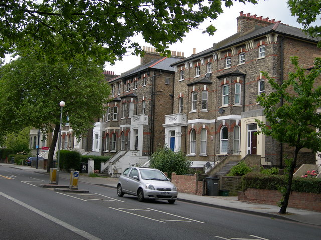
Image: © Danny P Robinson Taken: 12 May 2007
These fine old houses will by now have been converted into flats. This is the A205 South Circular, a busy through route. On street parking is out of the question.
Images are licensed for reuse under creativecommons.org/licenses/by-sa/2.0
Image Location
Latitude
51.440647
Longitude
-0.048926