SE boundary of Pontarddulais
Introduction
The photograph on this page of SE boundary of Pontarddulais by Jaggery as part of the Geograph project.
The Geograph project started in 2005 with the aim of publishing, organising and preserving representative images for every square kilometre of Great Britain, Ireland and the Isle of Man.

There are currently over 7.5m images from over 14,400 individuals and you can help contribute to the project by visiting https://www.geograph.org.uk
SE boundary of Pontarddulais
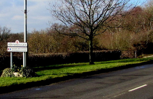
Image: © Jaggery Taken: 14 Feb 2015
The A48 passes from the village of Pontlliw to the town of Pontarddulais. Formerly in the county of Glamorgan and later West Glamorgan, both locations are now in the City and County of Swansea. The boundary sign shows that Pontarddulais is twinned with Hourtin (France).
Images are licensed for reuse under creativecommons.org/licenses/by-sa/2.0
Image Location
Latitude
51.703948
Longitude
-4.019743