The village sign at Stapleford
Introduction
The photograph on this page of The village sign at Stapleford by Marathon as part of the Geograph project.
The Geograph project started in 2005 with the aim of publishing, organising and preserving representative images for every square kilometre of Great Britain, Ireland and the Isle of Man.

There are currently over 7.5m images from over 14,400 individuals and you can help contribute to the project by visiting https://www.geograph.org.uk
The village sign at Stapleford
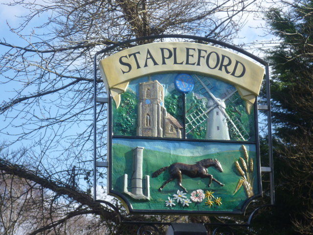
Image: © Marathon Taken: 1 Mar 2015
The village sign at Stapleford is to be found next to the green where Mingle Lane, Church Street and Gog Magog Way meet, not far from the church.
Images are licensed for reuse under creativecommons.org/licenses/by-sa/2.0
Image Location
Latitude
52.146949
Longitude
0.149742