Holderness Corn Mill Holderness Road
Introduction
The photograph on this page of Holderness Corn Mill Holderness Road by Martin Dawes as part of the Geograph project.
The Geograph project started in 2005 with the aim of publishing, organising and preserving representative images for every square kilometre of Great Britain, Ireland and the Isle of Man.

There are currently over 7.5m images from over 14,400 individuals and you can help contribute to the project by visiting https://www.geograph.org.uk
Holderness Corn Mill Holderness Road
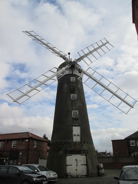
Image: © Martin Dawes Taken: 25 Feb 2015
Owned by Alfred West,Joseph Rank rented it three days a week to grind flour and the rest is history. In the car park of The Mill public house.
Images are licensed for reuse under creativecommons.org/licenses/by-sa/2.0
Image Location
Latitude
53.762086
Longitude
-0.297794