Former chapel, Castleton
Introduction
The photograph on this page of Former chapel, Castleton by Derek Harper as part of the Geograph project.
The Geograph project started in 2005 with the aim of publishing, organising and preserving representative images for every square kilometre of Great Britain, Ireland and the Isle of Man.

There are currently over 7.5m images from over 14,400 individuals and you can help contribute to the project by visiting https://www.geograph.org.uk
Former chapel, Castleton
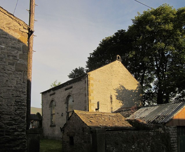
Image: © Derek Harper Taken: 8 Jul 2014
The former Wesleyan Chapel, dating from 1809, is just off Back Street. There is a description at http://churchdb.gukutils.org.uk/DBY122.php .
Images are licensed for reuse under creativecommons.org/licenses/by-sa/2.0
Image Location
Latitude
53.343237
Longitude
-1.775565