Cas Blaidd/Wolfscastle upper village
Introduction
The photograph on this page of Cas Blaidd/Wolfscastle upper village by Natasha Ceridwen de Chroustchoff as part of the Geograph project.
The Geograph project started in 2005 with the aim of publishing, organising and preserving representative images for every square kilometre of Great Britain, Ireland and the Isle of Man.

There are currently over 7.5m images from over 14,400 individuals and you can help contribute to the project by visiting https://www.geograph.org.uk
Cas Blaidd/Wolfscastle upper village
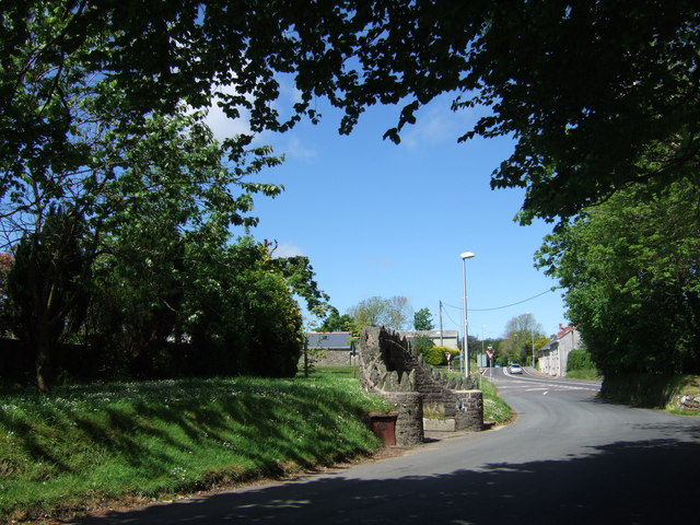
Image: © Natasha Ceridwen de Chroustchoff Taken: 17 May 2007
This is Wolfscastle proper, the lower settlement by the river is, strictly speaking, Ford. In this view the A40 road which slices through the village can be seen ahead, and to the left the restored fountain which is worth a closer look. There is a lack of agreement as to whether the Wolf the village is named for was the Norman chief Ulfa of the nearby C12 motte and bailey castle remnants, or "the last wolf in Wales" supposedly captured here.
Images are licensed for reuse under creativecommons.org/licenses/by-sa/2.0
Image Location
Latitude
51.90039
Longitude
-4.970992