Outdated new road surface sign, Pope's Hill
Introduction
The photograph on this page of Outdated new road surface sign, Pope's Hill by Jaggery as part of the Geograph project.
The Geograph project started in 2005 with the aim of publishing, organising and preserving representative images for every square kilometre of Great Britain, Ireland and the Isle of Man.

There are currently over 7.5m images from over 14,400 individuals and you can help contribute to the project by visiting https://www.geograph.org.uk
Outdated new road surface sign, Pope's Hill
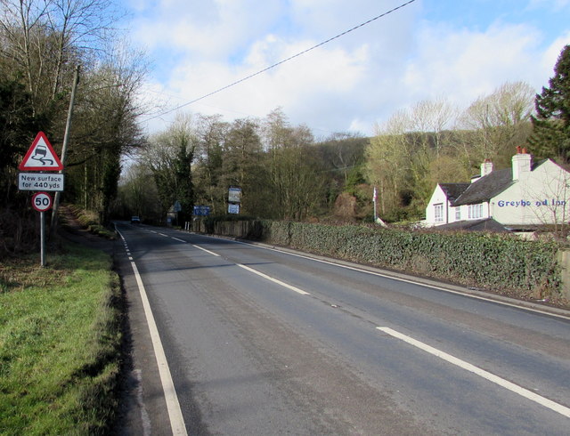
Image: © Jaggery Taken: 1 Mar 2015
Viewed on March 1st 2015. The same sign alongside the A4151 Elton Road is in a September 2009 Google Earth Street View. The 50mph speed limit sign has been added since then. The Greyhound Inn http://www.geograph.org.uk/photo/4367590 is on the right.
Images are licensed for reuse under creativecommons.org/licenses/by-sa/2.0
Image Location


Leaflet Map data © OpenStreetMap
Latitude
51.824905
Longitude
-2.455844