Grove House, Grayshott
Introduction
The photograph on this page of Grove House, Grayshott by David Howard as part of the Geograph project.
The Geograph project started in 2005 with the aim of publishing, organising and preserving representative images for every square kilometre of Great Britain, Ireland and the Isle of Man.

There are currently over 7.5m images from over 14,400 individuals and you can help contribute to the project by visiting https://www.geograph.org.uk
Grove House, Grayshott
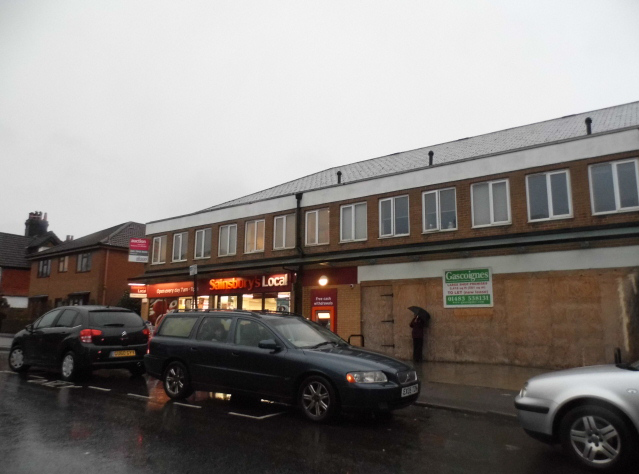
Image: © David Howard Taken: 1 Mar 2015
Sainsbury's was Tesco, while the old bike and trolley park in the gap behind the hoarding has been filled in and now awaiting occupation by a new shop.
Images are licensed for reuse under creativecommons.org/licenses/by-sa/2.0
Image Location


Leaflet Map data © OpenStreetMap
Latitude
51.110425
Longitude
-0.752303