Hawkinge Hall
Introduction
The photograph on this page of Hawkinge Hall by John Baker as part of the Geograph project.
The Geograph project started in 2005 with the aim of publishing, organising and preserving representative images for every square kilometre of Great Britain, Ireland and the Isle of Man.

There are currently over 7.5m images from over 14,400 individuals and you can help contribute to the project by visiting https://www.geograph.org.uk
Hawkinge Hall
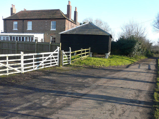
Image: © John Baker Taken: 15 Feb 2015
Situated in what is locally known as Old Hawkinge, the house is a grade II listed building dating from the late 18th or early 19th centuries http://www.britishlistedbuildings.co.uk/en-441364-hawkinge-hall-hawkinge-kent At one time, a smock mill stood beside Hawkinge Hall and its location was first shown on the 1819 ordnance survey map. It was built on a tall brick base in about 1800 but ceased working in 1902. It was demolished in the late 1960s.
Images are licensed for reuse under creativecommons.org/licenses/by-sa/2.0
Image Location
Latitude
51.115333
Longitude
1.184937