The Painswick Centre car park
Introduction
The photograph on this page of The Painswick Centre car park by Jaggery as part of the Geograph project.
The Geograph project started in 2005 with the aim of publishing, organising and preserving representative images for every square kilometre of Great Britain, Ireland and the Isle of Man.

There are currently over 7.5m images from over 14,400 individuals and you can help contribute to the project by visiting https://www.geograph.org.uk
The Painswick Centre car park
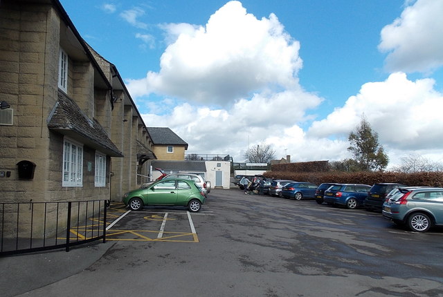
Image: © Jaggery Taken: 23 Mar 2014
Viewed from Bisley Street, Painswick. The main community centre building is on the left. Outdoor facilities out of shot ahead include a bowling green, tennis court and large grass recreation area.
Images are licensed for reuse under creativecommons.org/licenses/by-sa/2.0
Image Location


Leaflet Map data © OpenStreetMap
Latitude
51.786431
Longitude
-2.192186