Lychgate and nameboard, All Saints, Didcot
Introduction
The photograph on this page of Lychgate and nameboard, All Saints, Didcot by Jaggery as part of the Geograph project.
The Geograph project started in 2005 with the aim of publishing, organising and preserving representative images for every square kilometre of Great Britain, Ireland and the Isle of Man.

There are currently over 7.5m images from over 14,400 individuals and you can help contribute to the project by visiting https://www.geograph.org.uk
Lychgate and nameboard, All Saints, Didcot
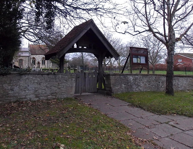
Image: © Jaggery Taken: 4 Dec 2014
From Lydalls Road on the south side of the church. The lychgate was formerly used to shelter a coffin until the clergyman's arrival for the burial, or pre-burial service.
Images are licensed for reuse under creativecommons.org/licenses/by-sa/2.0
Image Location


Leaflet Map data © OpenStreetMap
Latitude
51.610491
Longitude
-1.250887