Haltemprice Farm
Introduction
The photograph on this page of Haltemprice Farm by Paul Harrop as part of the Geograph project.
The Geograph project started in 2005 with the aim of publishing, organising and preserving representative images for every square kilometre of Great Britain, Ireland and the Isle of Man.

There are currently over 7.5m images from over 14,400 individuals and you can help contribute to the project by visiting https://www.geograph.org.uk
Haltemprice Farm
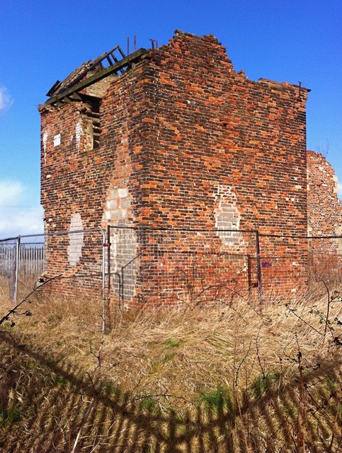
Image: © Paul Harrop Taken: 24 Feb 2015
The long-derelict farmhouse, or what remains of it, seen from behind the security fencing which now surrounds it (and which throws the shadow seen here).
Images are licensed for reuse under creativecommons.org/licenses/by-sa/2.0
Image Location
Latitude
53.76449
Longitude
-0.42089