Brook Hill, Oxted
Introduction
The photograph on this page of Brook Hill, Oxted by David P Howard as part of the Geograph project.
The Geograph project started in 2005 with the aim of publishing, organising and preserving representative images for every square kilometre of Great Britain, Ireland and the Isle of Man.

There are currently over 7.5m images from over 14,400 individuals and you can help contribute to the project by visiting https://www.geograph.org.uk
Brook Hill, Oxted
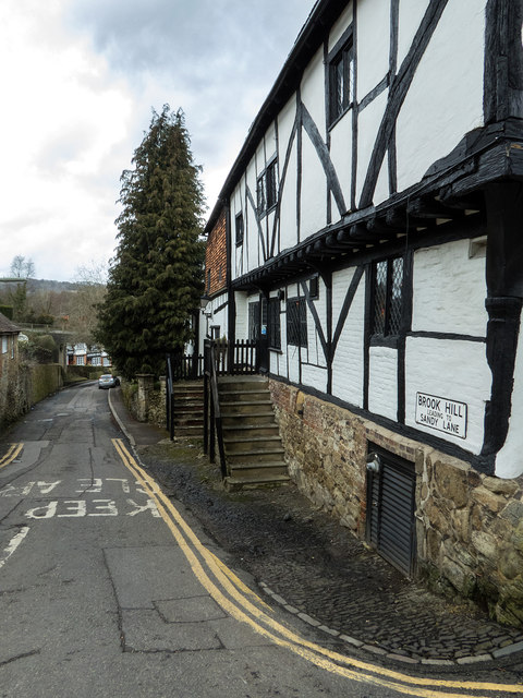
Image: © David P Howard Taken: 23 Feb 2015
Looking down Brook Hill from the junction with High Street. The building on the right is the Old Bell public house.
Images are licensed for reuse under creativecommons.org/licenses/by-sa/2.0
Image Location
Latitude
51.252436
Longitude
-0.017352