The A1 at Great Ponton
Introduction
The photograph on this page of The A1 at Great Ponton by Bill Boaden as part of the Geograph project.
The Geograph project started in 2005 with the aim of publishing, organising and preserving representative images for every square kilometre of Great Britain, Ireland and the Isle of Man.

There are currently over 7.5m images from over 14,400 individuals and you can help contribute to the project by visiting https://www.geograph.org.uk
The A1 at Great Ponton
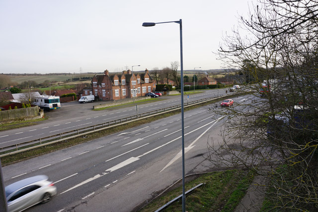
Image: © Bill Boaden Taken: 2 Feb 2015
The village is scarred by the A1 in close proximity. The village pub, the Blue Horse, can be seen on the other side.
Images are licensed for reuse under creativecommons.org/licenses/by-sa/2.0
Image Location
Latitude
52.862177
Longitude
-0.629127