Bournemouth: corner of St John's Road and Owls Road, Boscombe
Introduction
The photograph on this page of Bournemouth: corner of St John's Road and Owls Road, Boscombe by Jonathan Hutchins as part of the Geograph project.
The Geograph project started in 2005 with the aim of publishing, organising and preserving representative images for every square kilometre of Great Britain, Ireland and the Isle of Man.

There are currently over 7.5m images from over 14,400 individuals and you can help contribute to the project by visiting https://www.geograph.org.uk
Bournemouth: corner of St John's Road and Owls Road, Boscombe
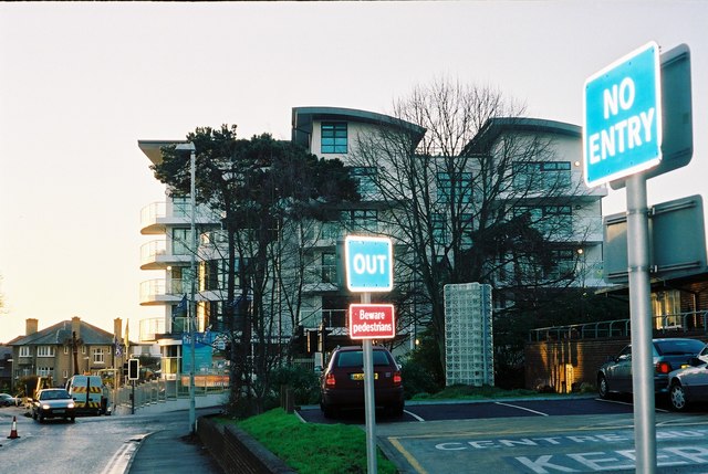
Image: © Jonathan Hutchins Taken: Unknown
The new development called 'The Reef' is on the far side of St John's Road
Images are licensed for reuse under creativecommons.org/licenses/by-sa/2.0
Image Location
Latitude
50.72284
Longitude
-1.844541