Hackenthorpe tram stop
Introduction
The photograph on this page of Hackenthorpe tram stop by David Martin as part of the Geograph project.
The Geograph project started in 2005 with the aim of publishing, organising and preserving representative images for every square kilometre of Great Britain, Ireland and the Isle of Man.

There are currently over 7.5m images from over 14,400 individuals and you can help contribute to the project by visiting https://www.geograph.org.uk
Hackenthorpe tram stop
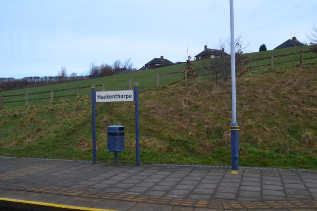
Image: © David Martin Taken: 20 Feb 2015
A well-worn path down the grassy bank shows the route taken by many tram travellers from the houses above!
Images are licensed for reuse under creativecommons.org/licenses/by-sa/2.0
Image Location
Latitude
53.343551
Longitude
-1.380988