Site of Wrytree Drift (coal mine)
Introduction
The photograph on this page of Site of Wrytree Drift (coal mine) by Les Hull as part of the Geograph project.
The Geograph project started in 2005 with the aim of publishing, organising and preserving representative images for every square kilometre of Great Britain, Ireland and the Isle of Man.

There are currently over 7.5m images from over 14,400 individuals and you can help contribute to the project by visiting https://www.geograph.org.uk
Site of Wrytree Drift (coal mine)
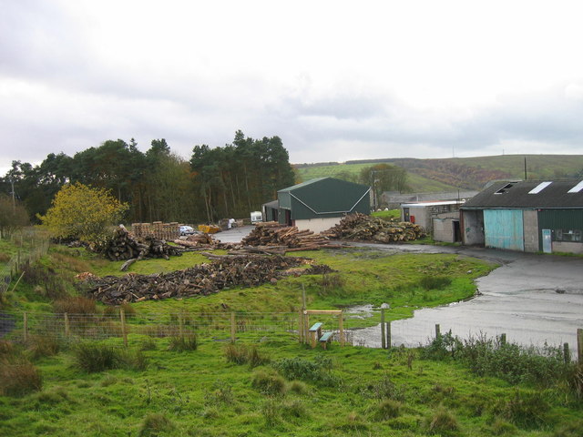
Image: © Les Hull Taken: 14 Nov 2006
Blenkinsopp and Wrytree coal mine which are both connected underground are located in the village of Greenhead, two miles from the town of Haltwhistle, halfway between Newcastle and Carlisle on the A69. http://www.healeyhero.co.uk/rescue/Collection/blenk/blenk_pit.htm
Images are licensed for reuse under creativecommons.org/licenses/by-sa/2.0
Image Location
Latitude
54.977449
Longitude
-2.511953