Monk Bretton
Introduction
The photograph on this page of Monk Bretton by Rude Health as part of the Geograph project.
The Geograph project started in 2005 with the aim of publishing, organising and preserving representative images for every square kilometre of Great Britain, Ireland and the Isle of Man.

There are currently over 7.5m images from over 14,400 individuals and you can help contribute to the project by visiting https://www.geograph.org.uk
Monk Bretton
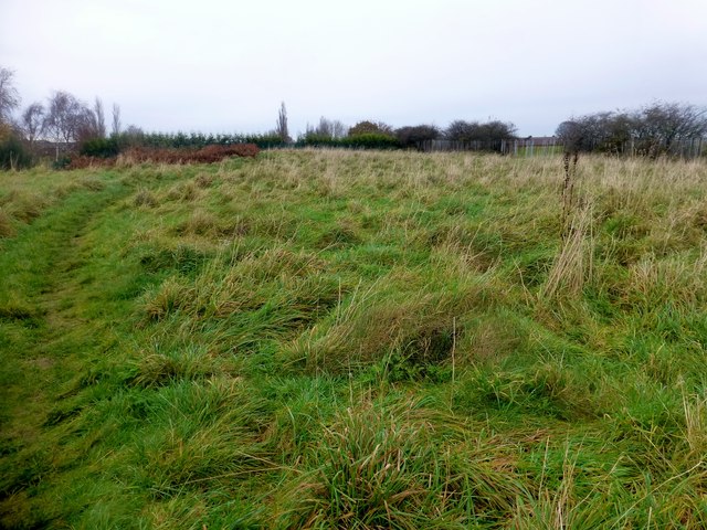
Image: © Rude Health Taken: 23 Nov 2014
Parked on Byron Drive then used footpath to bag flattish highpoint and trig with Martin Richardson. Name: Monk Bretton Hill number: 16832 Height: 119m / 390ft Parent (Ma/M): 2810 Black Hill Section: 36: Lancashire, Cheshire & the Southern Pennines County/UA: Barnsley (UA) Class: Tump (100-199m) Grid ref: SE 35946 07828 Summit feature: no feature: ground by track c 60m N of trig point Drop: 36m Col: 83m SE350092
Images are licensed for reuse under creativecommons.org/licenses/by-sa/2.0
Image Location
Latitude
53.565678
Longitude
-1.458831