Potter Holes Hill
Introduction
The photograph on this page of Potter Holes Hill by Rude Health as part of the Geograph project.
The Geograph project started in 2005 with the aim of publishing, organising and preserving representative images for every square kilometre of Great Britain, Ireland and the Isle of Man.

There are currently over 7.5m images from over 14,400 individuals and you can help contribute to the project by visiting https://www.geograph.org.uk
Potter Holes Hill
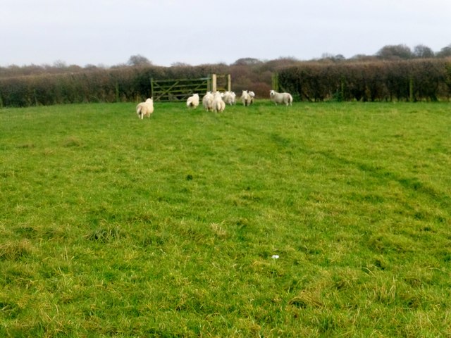
Image: © Rude Health Taken: 23 Nov 2014
Walked up to gate in hedge in sheep field with Martin Richardson. This reclaimed land from mining has been altered and does not agree with OS map. The contours and 180m spot height on 25k map erroneous, estimate height at gate in hedge SK 3393 9994 to be 165m. Tump deleted and hill is Unclassified November 2014
Images are licensed for reuse under creativecommons.org/licenses/by-sa/2.0
Image Location
Latitude
53.495526
Longitude
-1.490173