North Meadow/Eleven Acres/Spring Plot/Sign Hand
Introduction
The photograph on this page of North Meadow/Eleven Acres/Spring Plot/Sign Hand by Simon Carey as part of the Geograph project.
The Geograph project started in 2005 with the aim of publishing, organising and preserving representative images for every square kilometre of Great Britain, Ireland and the Isle of Man.

There are currently over 7.5m images from over 14,400 individuals and you can help contribute to the project by visiting https://www.geograph.org.uk
North Meadow/Eleven Acres/Spring Plot/Sign Hand
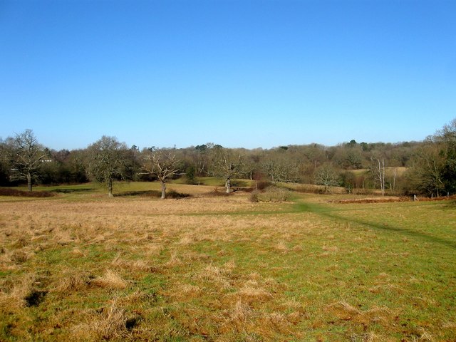
Image: © Simon Carey Taken: 17 Feb 2015
The name of the fields according to Lindfield's 1845 tithe map. North Meadow is in the foreground whilst the oaks mark the former hedgerows separating Eleven Acres to the left with Spring plot to the right. Beyond both of them is Sign Hand which once was a neighbour to Sign Hams Copse which was lost to development of the railway and later Orchard Close. Judging by the paths through the field it is well used b the locals in order to avoid the muddy morass of the public footpath.
Images are licensed for reuse under creativecommons.org/licenses/by-sa/2.0
Image Location
Latitude
51.014825
Longitude
-0.103351