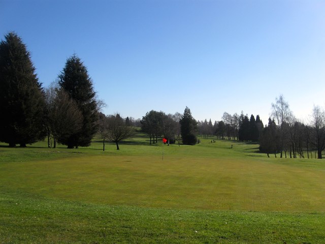
Hole 11, Haywards Heath Golf Course
Introduction
The photograph on this page of Hole 11, Haywards Heath Golf Course by Simon Carey as part of the Geograph project.
The Geograph project started in 2005 with the aim of publishing, organising and preserving representative images for every square kilometre of Great Britain, Ireland and the Isle of Man.
There are currently over 7.5m images from over 14,400 individuals and you can help contribute to the project by visiting https://www.geograph.org.uk

Image: © Simon Carey Taken: 17 Feb 2015
Located to the immediate north of the driving range with a couple of players in the distance negotiating the dog leg in the middle of the hole which covers a former field called Eleven Acres according to Lindfield's 1845 tithe map. First opened in 1922 as a nine hole course which was soon extended to eighteen in 1924. The current layout was designed in 1946-48 when much of the course was given over to food production during World War Two.

