Fry's Lane, Yateley
Introduction
The photograph on this page of Fry's Lane, Yateley by Alan Hunt as part of the Geograph project.
The Geograph project started in 2005 with the aim of publishing, organising and preserving representative images for every square kilometre of Great Britain, Ireland and the Isle of Man.

There are currently over 7.5m images from over 14,400 individuals and you can help contribute to the project by visiting https://www.geograph.org.uk
Fry's Lane, Yateley
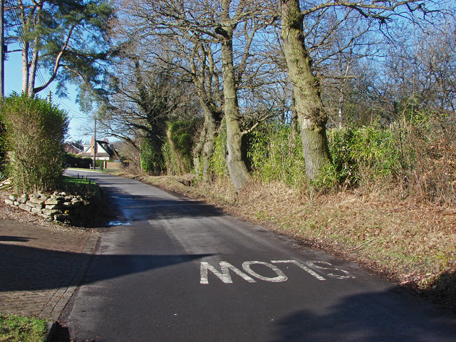
Image: © Alan Hunt Taken: 17 Feb 2015
The rural road off Mill Lane running between the housing north of the Reading Road and a large area of former gravel pits off to the right.
Images are licensed for reuse under creativecommons.org/licenses/by-sa/2.0
Image Location
Latitude
51.344597
Longitude
-0.822915