Hatfield House Public House, Lower Ormeau Road
Introduction
The photograph on this page of Hatfield House Public House, Lower Ormeau Road by Eric Jones as part of the Geograph project.
The Geograph project started in 2005 with the aim of publishing, organising and preserving representative images for every square kilometre of Great Britain, Ireland and the Isle of Man.

There are currently over 7.5m images from over 14,400 individuals and you can help contribute to the project by visiting https://www.geograph.org.uk
Hatfield House Public House, Lower Ormeau Road
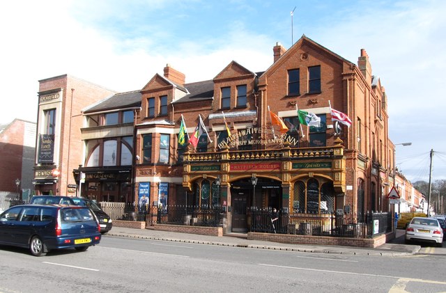
Image: © Eric Jones Taken: 17 Feb 2015
This watering place is located on the corner of Lower Ormeau Road and Hatfield Road. It is a well-known GAA and music pub. The banners on the outside are those of the Six Counties GAA clubs. http://www.hatfieldhousebelfast.com/
Images are licensed for reuse under creativecommons.org/licenses/by-sa/2.0
Image Location
Latitude
54.585611
Longitude
-5.923087