The Ballynafeigh section of Ormeau Road, Belfast
Introduction
The photograph on this page of The Ballynafeigh section of Ormeau Road, Belfast by Eric Jones as part of the Geograph project.
The Geograph project started in 2005 with the aim of publishing, organising and preserving representative images for every square kilometre of Great Britain, Ireland and the Isle of Man.

There are currently over 7.5m images from over 14,400 individuals and you can help contribute to the project by visiting https://www.geograph.org.uk
The Ballynafeigh section of Ormeau Road, Belfast
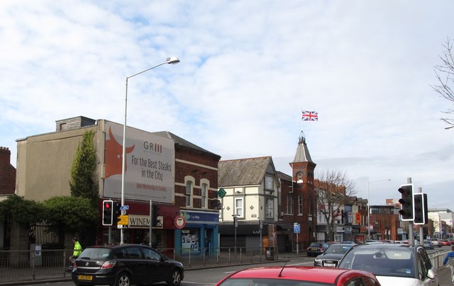
Image: © Eric Jones Taken: 17 Feb 2015
Ballynafeigh is a portion of the townland of Ballynafoy which lies immediately south of Ormeau Bridge. It is a culturally mixed area. The Union Flag flies over the Ballynafeigh Orange Hall.
Images are licensed for reuse under creativecommons.org/licenses/by-sa/2.0
Image Location
Latitude
54.576903
Longitude
-5.918271