London from the air
Introduction
The photograph on this page of London from the air by Thomas Nugent as part of the Geograph project.
The Geograph project started in 2005 with the aim of publishing, organising and preserving representative images for every square kilometre of Great Britain, Ireland and the Isle of Man.

There are currently over 7.5m images from over 14,400 individuals and you can help contribute to the project by visiting https://www.geograph.org.uk
London from the air
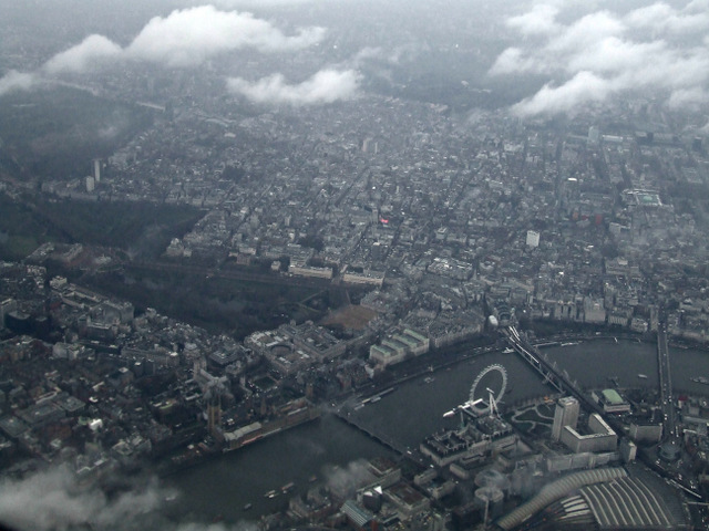
Image: © Thomas Nugent Taken: 16 Feb 2015
A grey, cloudy day in central London, seen from a Heathrow bound flight from Glasgow. The bright speck of colour in the centre is Piccadilly Circus.
Images are licensed for reuse under creativecommons.org/licenses/by-sa/2.0
Image Location
Latitude
51.499151
Longitude
-0.106941