Downstream along Afon Lliw from Pont Lliw in Pontlliw
Introduction
The photograph on this page of Downstream along Afon Lliw from Pont Lliw in Pontlliw by Jaggery as part of the Geograph project.
The Geograph project started in 2005 with the aim of publishing, organising and preserving representative images for every square kilometre of Great Britain, Ireland and the Isle of Man.

There are currently over 7.5m images from over 14,400 individuals and you can help contribute to the project by visiting https://www.geograph.org.uk
Downstream along Afon Lliw from Pont Lliw in Pontlliw
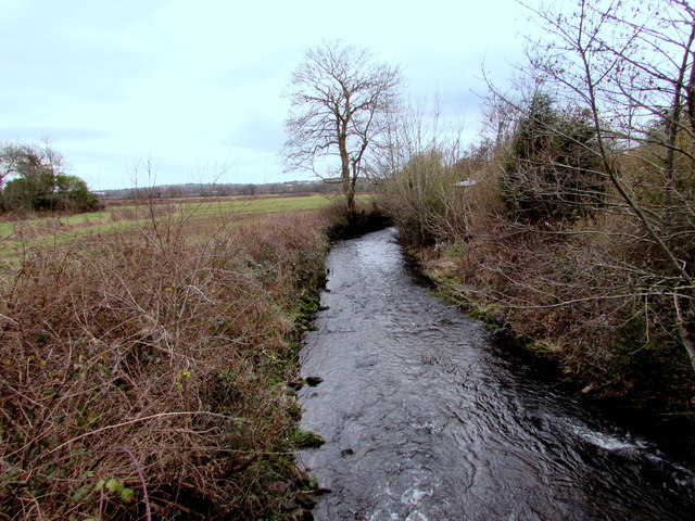
Image: © Jaggery Taken: 14 Feb 2015
From the bridge that gave the village its name - Pont Lliw which carries the A48 over the Afon Lliw in Pontlliw.
Images are licensed for reuse under creativecommons.org/licenses/by-sa/2.0
Image Location


Leaflet Map data © OpenStreetMap
Latitude
51.687513
Longitude
-4.013225