Springfield Basin and Springfield Lock
Introduction
The photograph on this page of Springfield Basin and Springfield Lock by Robin Lucas as part of the Geograph project.
The Geograph project started in 2005 with the aim of publishing, organising and preserving representative images for every square kilometre of Great Britain, Ireland and the Isle of Man.

There are currently over 7.5m images from over 14,400 individuals and you can help contribute to the project by visiting https://www.geograph.org.uk
Springfield Basin and Springfield Lock
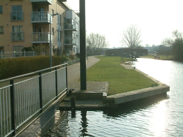
Image: © Robin Lucas Taken: 13 Feb 2015
Springfield Basin looking towards Springfield Lock. The entrance to the private marina is to the left.
Images are licensed for reuse under creativecommons.org/licenses/by-sa/2.0
Image Location
Latitude
51.729122
Longitude
0.484802