High Gelt Bridge
Introduction
The photograph on this page of High Gelt Bridge by David Liddle as part of the Geograph project.
The Geograph project started in 2005 with the aim of publishing, organising and preserving representative images for every square kilometre of Great Britain, Ireland and the Isle of Man.

There are currently over 7.5m images from over 14,400 individuals and you can help contribute to the project by visiting https://www.geograph.org.uk
High Gelt Bridge
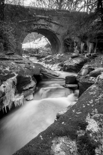
Image: © David Liddle Taken: 5 Feb 2015
The bridge looking upstream on a really cold winter's day which carries the road to Castle Carrock above.
Images are licensed for reuse under creativecommons.org/licenses/by-sa/2.0
Image Location
Latitude
54.898324
Longitude
-2.716309