Solport Culvert .
Introduction
The photograph on this page of Solport Culvert . by David Liddle as part of the Geograph project.
The Geograph project started in 2005 with the aim of publishing, organising and preserving representative images for every square kilometre of Great Britain, Ireland and the Isle of Man.

There are currently over 7.5m images from over 14,400 individuals and you can help contribute to the project by visiting https://www.geograph.org.uk
Solport Culvert .
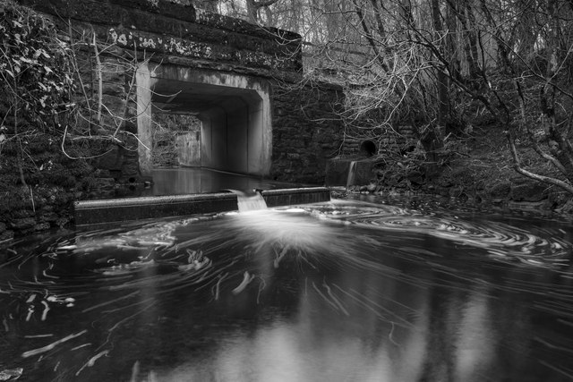
Image: © David Liddle Taken: 13 Feb 2015
An upgraded culvert which allows the Rae burn to flow under and carry an unnamed B road over the top.
Images are licensed for reuse under creativecommons.org/licenses/by-sa/2.0
Image Location
Latitude
55.034601
Longitude
-2.836399