Sergison Road, Haywards Heath
Introduction
The photograph on this page of Sergison Road, Haywards Heath by Simon Carey as part of the Geograph project.
The Geograph project started in 2005 with the aim of publishing, organising and preserving representative images for every square kilometre of Great Britain, Ireland and the Isle of Man.

There are currently over 7.5m images from over 14,400 individuals and you can help contribute to the project by visiting https://www.geograph.org.uk
Sergison Road, Haywards Heath
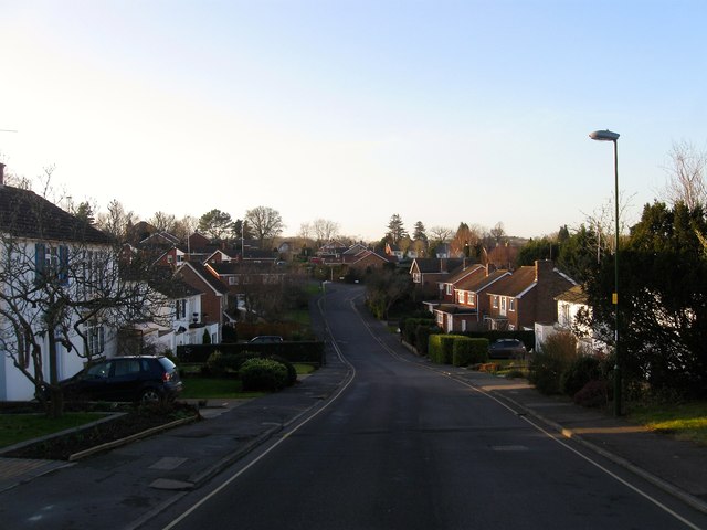
Image: © Simon Carey Taken: 8 Feb 2015
A residential road that runs between Paddockhall Road and Lucastes Road that was developed in the 1960s. This section was once a field called Bridge Field according to Cuckfield's 1843 tithe map and after the Second World War became part of a nursery called Paddockhall Gardens. The road junction visible in the distance is with Nursery Close. See also Image
Images are licensed for reuse under creativecommons.org/licenses/by-sa/2.0
Image Location
Latitude
51.002112
Longitude
-0.112421