Path by Craighead, Gowrie Hill
Introduction
The photograph on this page of Path by Craighead, Gowrie Hill by Stanley Howe as part of the Geograph project.
The Geograph project started in 2005 with the aim of publishing, organising and preserving representative images for every square kilometre of Great Britain, Ireland and the Isle of Man.

There are currently over 7.5m images from over 14,400 individuals and you can help contribute to the project by visiting https://www.geograph.org.uk
Path by Craighead, Gowrie Hill
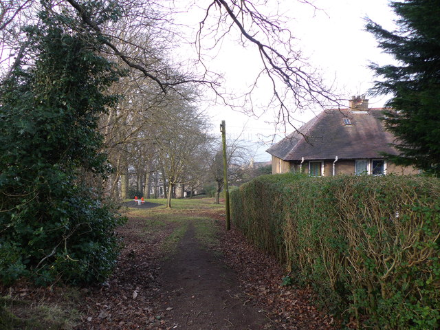
Image: © Stanley Howe Taken: 15 Feb 2015
An area with playground equipment (left centre); Craighead Road off right.
Images are licensed for reuse under creativecommons.org/licenses/by-sa/2.0
Image Location
Latitude
56.442807
Longitude
-2.935366