Icknield Way Trail and rerouted Ridgeway LDP
Introduction
The photograph on this page of Icknield Way Trail and rerouted Ridgeway LDP by Rob Farrow as part of the Geograph project.
The Geograph project started in 2005 with the aim of publishing, organising and preserving representative images for every square kilometre of Great Britain, Ireland and the Isle of Man.

There are currently over 7.5m images from over 14,400 individuals and you can help contribute to the project by visiting https://www.geograph.org.uk
Icknield Way Trail and rerouted Ridgeway LDP
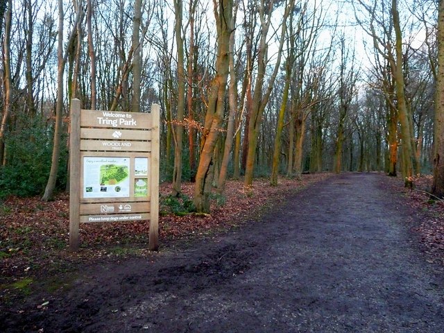
Image: © Rob Farrow Taken: 15 Feb 2015
On older maps the Ridgeway in this area is shown running from Hastoe Cross to Wigginton past Wick Farm (see Image] & Image]) but the signs now show it going through Bishop's Wood and along the ridge above Tring Park, following the route of the Icknield Way Trail (another Long Distance Path). This photo shows the Woodland Trust sign for Tring Park at the western end of Bishop's Wood where the LDPs enter the wood from Marlin Hill.
Images are licensed for reuse under creativecommons.org/licenses/by-sa/2.0
Image Location


Leaflet Map data © OpenStreetMap
Latitude
51.77755
Longitude
-0.662964