Junction of Winchester Avenue and Church Road, Hereford
Introduction
The photograph on this page of Junction of Winchester Avenue and Church Road, Hereford by Jaggery as part of the Geograph project.
The Geograph project started in 2005 with the aim of publishing, organising and preserving representative images for every square kilometre of Great Britain, Ireland and the Isle of Man.

There are currently over 7.5m images from over 14,400 individuals and you can help contribute to the project by visiting https://www.geograph.org.uk
Junction of Winchester Avenue and Church Road, Hereford
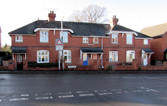
Image: © Jaggery Taken: 8 Jan 2015
Viewed from Winchester Avenue. A black arrow pointing left is part of a sign showing humps for 140 yards.
Images are licensed for reuse under creativecommons.org/licenses/by-sa/2.0
Image Location
Latitude
52.056993
Longitude
-2.689373