Stoke Goldington: B526 High Street
Introduction
The photograph on this page of Stoke Goldington: B526 High Street by Nigel Cox as part of the Geograph project.
The Geograph project started in 2005 with the aim of publishing, organising and preserving representative images for every square kilometre of Great Britain, Ireland and the Isle of Man.

There are currently over 7.5m images from over 14,400 individuals and you can help contribute to the project by visiting https://www.geograph.org.uk
Stoke Goldington: B526 High Street
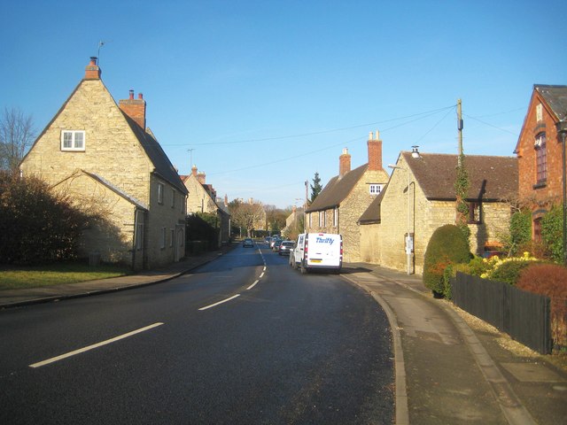
Image: © Nigel Cox Taken: 8 Feb 2015
There are several Grade II Listed buildings along the High Street here, including the house on the left and the one on the right with the two chimneys. The road is now the B526, but was once the A50, linking Northampton and Newport Pagnell.
Images are licensed for reuse under creativecommons.org/licenses/by-sa/2.0
Image Location
Latitude
52.131353
Longitude
-0.778336