Shallow embankment on the 1785 Caldon Low Tramroad
Introduction
The photograph on this page of Shallow embankment on the 1785 Caldon Low Tramroad by Ian Calderwood as part of the Geograph project.
The Geograph project started in 2005 with the aim of publishing, organising and preserving representative images for every square kilometre of Great Britain, Ireland and the Isle of Man.

There are currently over 7.5m images from over 14,400 individuals and you can help contribute to the project by visiting https://www.geograph.org.uk
Shallow embankment on the 1785 Caldon Low Tramroad
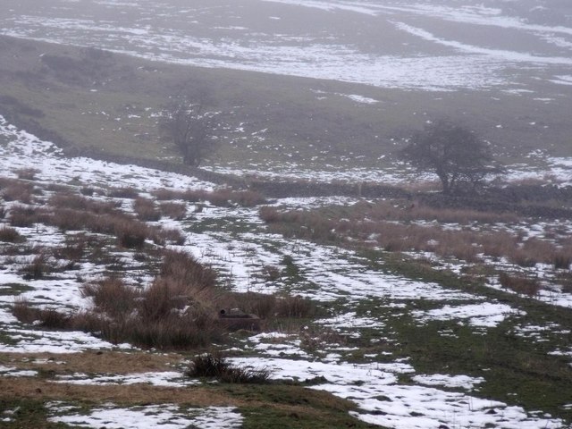
Image: © Ian Calderwood Taken: 8 Feb 2015
The 1785 tramroad was a horse-drawn waggonway which carried limestone from the quarries at Caldon Low to the Caldon Canal at Froghall, from 1785 until 1804, until it was replaced by a more efficient plateway.
Images are licensed for reuse under creativecommons.org/licenses/by-sa/2.0
Image Location
Latitude
53.029794
Longitude
-1.913328