Harold Street, Ammanford
Introduction
The photograph on this page of Harold Street, Ammanford by Jaggery as part of the Geograph project.
The Geograph project started in 2005 with the aim of publishing, organising and preserving representative images for every square kilometre of Great Britain, Ireland and the Isle of Man.

There are currently over 7.5m images from over 14,400 individuals and you can help contribute to the project by visiting https://www.geograph.org.uk
Harold Street, Ammanford
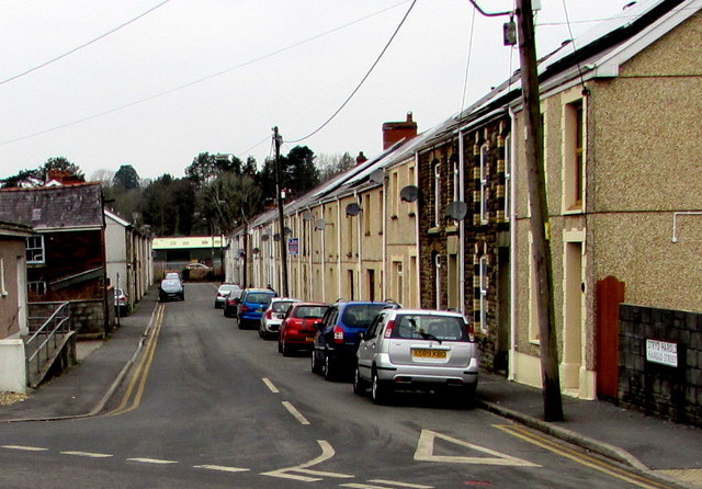
Image: © Jaggery Taken: 11 Feb 2015
Viewed from Station Road. Harold Street extends west for 170 metres, to Brynderwen Road at the edge of the Heart of Wales railway.
Images are licensed for reuse under creativecommons.org/licenses/by-sa/2.0
Image Location
Latitude
51.796784
Longitude
-3.996626