Dumbarton Cemetery
Introduction
The photograph on this page of Dumbarton Cemetery by Lairich Rig as part of the Geograph project.
The Geograph project started in 2005 with the aim of publishing, organising and preserving representative images for every square kilometre of Great Britain, Ireland and the Isle of Man.

There are currently over 7.5m images from over 14,400 individuals and you can help contribute to the project by visiting https://www.geograph.org.uk
Dumbarton Cemetery
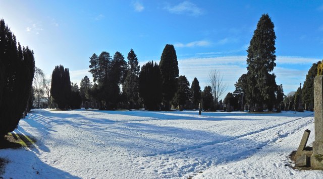
Image: © Lairich Rig Taken: 19 Jan 2015
The cemetery was, when this picture was taken, nearly full, and New Dumbarton Cemetery was then under construction. The picture shows what is an open space, but not an unused one; it has the feel of an area set aside for unmarked burials (compare Image).
Images are licensed for reuse under creativecommons.org/licenses/by-sa/2.0
Image Location
Latitude
55.951251
Longitude
-4.548963