East Lodge Cottages
Introduction
The photograph on this page of East Lodge Cottages by Anne Burgess as part of the Geograph project.
The Geograph project started in 2005 with the aim of publishing, organising and preserving representative images for every square kilometre of Great Britain, Ireland and the Isle of Man.

There are currently over 7.5m images from over 14,400 individuals and you can help contribute to the project by visiting https://www.geograph.org.uk
East Lodge Cottages
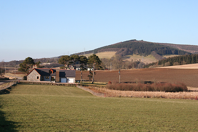
Image: © Anne Burgess Taken: 11 Feb 2015
The cottages are marked as East Lodge on the map, at what would at one time have been the east entrance to Lessendrum House. Fourman Hill in the background.
Images are licensed for reuse under creativecommons.org/licenses/by-sa/2.0
Image Location
Latitude
57.468142
Longitude
-2.696835