River Loughor towards the Dulais confluence in Pontarddulais
Introduction
The photograph on this page of River Loughor towards the Dulais confluence in Pontarddulais by Jaggery as part of the Geograph project.
The Geograph project started in 2005 with the aim of publishing, organising and preserving representative images for every square kilometre of Great Britain, Ireland and the Isle of Man.

There are currently over 7.5m images from over 14,400 individuals and you can help contribute to the project by visiting https://www.geograph.org.uk
River Loughor towards the Dulais confluence in Pontarddulais
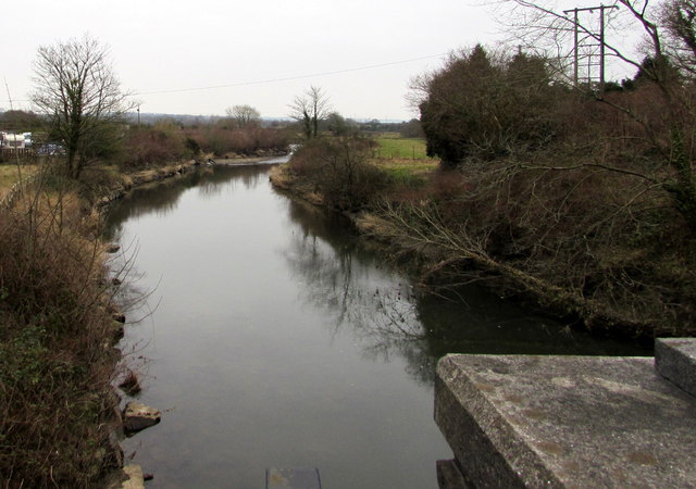
Image: © Jaggery Taken: 11 Feb 2015
Viewed from Loughor Bridge. Distant white water shows where the Dulais flows into the River Loughor. The midpoint of the Loughor here marks the boundary of the City and County of Swansea (formerly the county of Glamorgan) on the left and Carmarthenshire on the right.
Images are licensed for reuse under creativecommons.org/licenses/by-sa/2.0
Image Location
Latitude
51.714824
Longitude
-4.045996