Gerrieswells
Introduction
The photograph on this page of Gerrieswells by Anne Burgess as part of the Geograph project.
The Geograph project started in 2005 with the aim of publishing, organising and preserving representative images for every square kilometre of Great Britain, Ireland and the Isle of Man.

There are currently over 7.5m images from over 14,400 individuals and you can help contribute to the project by visiting https://www.geograph.org.uk
Gerrieswells
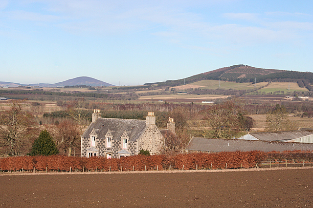
Image: © Anne Burgess Taken: 11 Feb 2015
If you believe the 1:50,000 map, it's Gerrieswells. If you believe the 1:25,000 map it's Garrieswells. Take your pick. It's a largish farm with a good solid traditional farm house and a splendid view to Fourman Hill on the right and Knock Hill, further away, on the left.
Images are licensed for reuse under creativecommons.org/licenses/by-sa/2.0
Image Location
Latitude
57.451328
Longitude
-2.715678