Deveron View
Introduction
The photograph on this page of Deveron View by Anne Burgess as part of the Geograph project.
The Geograph project started in 2005 with the aim of publishing, organising and preserving representative images for every square kilometre of Great Britain, Ireland and the Isle of Man.

There are currently over 7.5m images from over 14,400 individuals and you can help contribute to the project by visiting https://www.geograph.org.uk
Deveron View
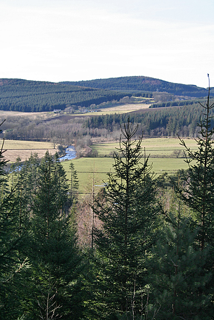
Image: © Anne Burgess Taken: 10 Feb 2015
When the foreground spruce trees have grown a little taller, this view of the River Deveron will be obscured.
Images are licensed for reuse under creativecommons.org/licenses/by-sa/2.0
Image Location
Latitude
57.46867
Longitude
-2.845391