Townhead, Kirkintilloch
Introduction
The photograph on this page of Townhead, Kirkintilloch by Raymond Okonski as part of the Geograph project.
The Geograph project started in 2005 with the aim of publishing, organising and preserving representative images for every square kilometre of Great Britain, Ireland and the Isle of Man.

There are currently over 7.5m images from over 14,400 individuals and you can help contribute to the project by visiting https://www.geograph.org.uk
Townhead, Kirkintilloch
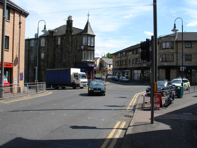
Image: © Raymond Okonski Taken: 15 May 2007
This used to be a major junction in the town, with the main street continuing through the junction to Industry Street and onwards to Oxgang and Waterside. However the first phase of the town's link road (accessed by turning left) effectively emasculated Industry street by severing it a few hundred metres past this junction - and the Dalrymple Memorial can just be discerned in the sunlight (see other Geograph for a closer view). The road on the right leads south to Whitegates and Lenzie.
Images are licensed for reuse under creativecommons.org/licenses/by-sa/2.0
Image Location
Latitude
55.935724
Longitude
-4.152288