Road to Ffawyddog
Introduction
The photograph on this page of Road to Ffawyddog by Jonathan Billinger as part of the Geograph project.
The Geograph project started in 2005 with the aim of publishing, organising and preserving representative images for every square kilometre of Great Britain, Ireland and the Isle of Man.

There are currently over 7.5m images from over 14,400 individuals and you can help contribute to the project by visiting https://www.geograph.org.uk
Road to Ffawyddog
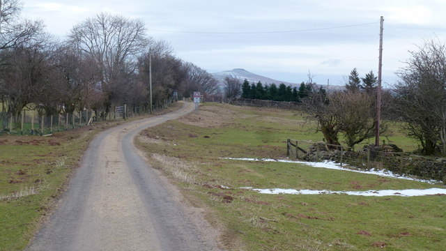
Image: © Jonathan Billinger Taken: 5 Feb 2015
This lane descends the Usk valley side from open access rough pasture here by Pen-heol-rhyn. A good view of the cone of Sugarloaf/Y Fal in the distance.
Images are licensed for reuse under creativecommons.org/licenses/by-sa/2.0
Image Location
Latitude
51.8559
Longitude
-3.200013