Derby Road, Mansfield, Notts.
Introduction
The photograph on this page of Derby Road, Mansfield, Notts. by David Hallam-Jones as part of the Geograph project.
The Geograph project started in 2005 with the aim of publishing, organising and preserving representative images for every square kilometre of Great Britain, Ireland and the Isle of Man.

There are currently over 7.5m images from over 14,400 individuals and you can help contribute to the project by visiting https://www.geograph.org.uk
Derby Road, Mansfield, Notts.
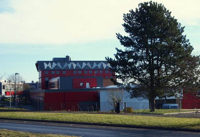
Image: © David Hallam-Jones Taken: 8 Feb 2015
The western end of one of this educational site's buildings. "Vision West Nottinghamshire" College - dubbed: "a living piece of social infrastructure in grey, sand-coloured and red Proteus panels" - was completed 2014. The entrance to Mansfield Crematorium lies just behind the photographer, on the other side of Derby Road (the A611). The junction with the main Nottingham-Mansfield Road (the A60) is less than 100 metres away on the left.
Images are licensed for reuse under creativecommons.org/licenses/by-sa/2.0
Image Location
Latitude
53.121485
Longitude
-1.194111