Southeast on the A452 at Chesford Bridge
Introduction
The photograph on this page of Southeast on the A452 at Chesford Bridge by Robin Stott as part of the Geograph project.
The Geograph project started in 2005 with the aim of publishing, organising and preserving representative images for every square kilometre of Great Britain, Ireland and the Isle of Man.

There are currently over 7.5m images from over 14,400 individuals and you can help contribute to the project by visiting https://www.geograph.org.uk
Southeast on the A452 at Chesford Bridge
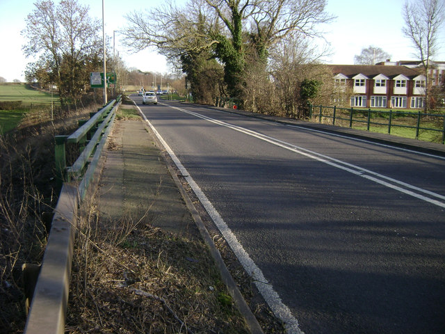
Image: © Robin Stott Taken: 16 Feb 2014
The medieval stone bridge, behind the camera, spans the river itself. Here to the southeast the road crosses the wide floodplain. Three unobtrusive bridges span flood channels and a farm access. On the right is the Ramada Hotel on its platform above flood level, hopefully.
Images are licensed for reuse under creativecommons.org/licenses/by-sa/2.0
Image Location
Latitude
52.325551
Longitude
-1.555809