Westbound along the A50 near Groby
Introduction
The photograph on this page of Westbound along the A50 near Groby by Mat Fascione as part of the Geograph project.
The Geograph project started in 2005 with the aim of publishing, organising and preserving representative images for every square kilometre of Great Britain, Ireland and the Isle of Man.

There are currently over 7.5m images from over 14,400 individuals and you can help contribute to the project by visiting https://www.geograph.org.uk
Westbound along the A50 near Groby
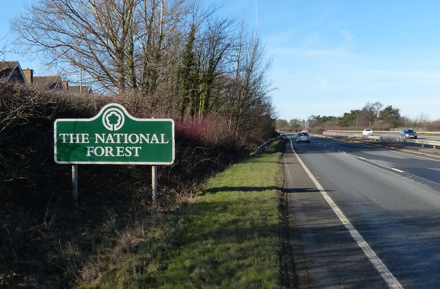
Image: © Mat Fascione Taken: 8 Feb 2015
The sign is marking the eastern edge of the National Forest.
Images are licensed for reuse under creativecommons.org/licenses/by-sa/2.0
Image Location
Latitude
52.663207
Longitude
-1.222672