Paddington Hilton Hotel, Praed Street
Introduction
The photograph on this page of Paddington Hilton Hotel, Praed Street by Roger Templeman as part of the Geograph project.
The Geograph project started in 2005 with the aim of publishing, organising and preserving representative images for every square kilometre of Great Britain, Ireland and the Isle of Man.

There are currently over 7.5m images from over 14,400 individuals and you can help contribute to the project by visiting https://www.geograph.org.uk
Paddington Hilton Hotel, Praed Street
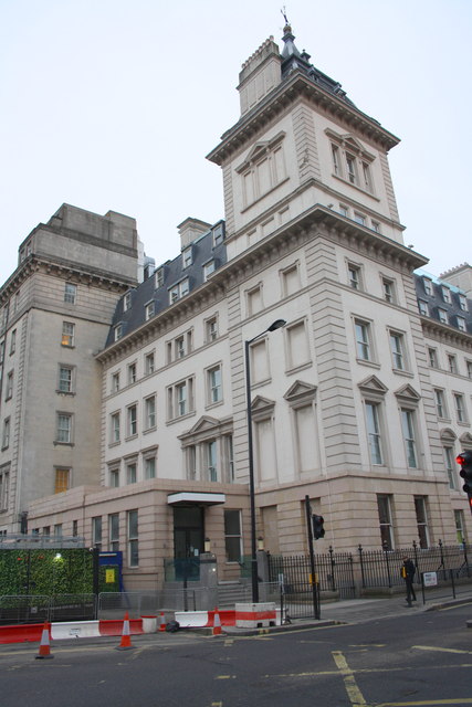
Image: © Roger Templeman Taken: 7 Feb 2015
Formerly the Great Western Hotel, there was an Ordnance Survey benchmark on the corner of the low wall with railings on top. More information on the Bench Mark Database at http://www.bench-marks.org.uk/bm23717
Images are licensed for reuse under creativecommons.org/licenses/by-sa/2.0
Image Location
Latitude
51.515358
Longitude
-0.176315