St Margaret's Drive
Introduction
The photograph on this page of St Margaret's Drive by Robert Struthers as part of the Geograph project.
The Geograph project started in 2005 with the aim of publishing, organising and preserving representative images for every square kilometre of Great Britain, Ireland and the Isle of Man.

There are currently over 7.5m images from over 14,400 individuals and you can help contribute to the project by visiting https://www.geograph.org.uk
St Margaret's Drive
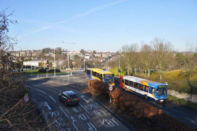
Image: © Robert Struthers Taken: 6 Feb 2015
St Margaret's Drive was constructed in the late 1980s to carry traffic away from the town centre. At the north end it connects with the busy Sinclair Gardens roundabout.
Images are licensed for reuse under creativecommons.org/licenses/by-sa/2.0
Image Location
Latitude
56.072664
Longitude
-3.452504