Dunfermline Footpath
Introduction
The photograph on this page of Dunfermline Footpath by Robert Struthers as part of the Geograph project.
The Geograph project started in 2005 with the aim of publishing, organising and preserving representative images for every square kilometre of Great Britain, Ireland and the Isle of Man.

There are currently over 7.5m images from over 14,400 individuals and you can help contribute to the project by visiting https://www.geograph.org.uk
Dunfermline Footpath
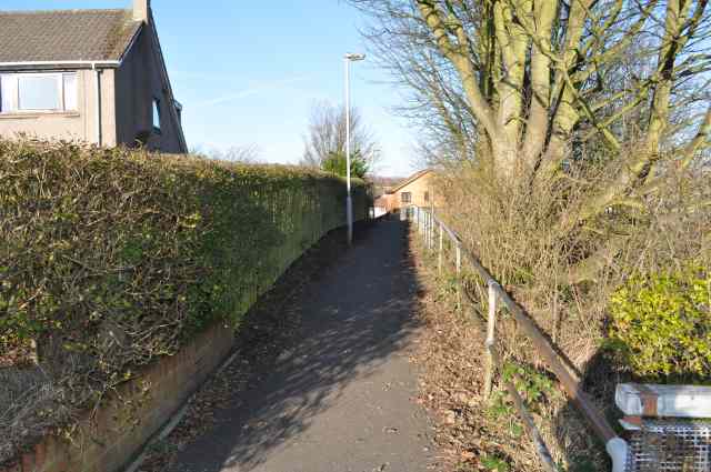
Image: © Robert Struthers Taken: 6 Feb 2015
This footpath runs from Garvock Hill to Dalcross Way. It follows the line of a former railway loop which connected the Fife Circle line with the Dunfermline to Stirling Line.
Images are licensed for reuse under creativecommons.org/licenses/by-sa/2.0
Image Location
Latitude
56.075742
Longitude
-3.427395