Albert Street, Newark, Notts.
Introduction
The photograph on this page of Albert Street, Newark, Notts. by David Hallam-Jones as part of the Geograph project.
The Geograph project started in 2005 with the aim of publishing, organising and preserving representative images for every square kilometre of Great Britain, Ireland and the Isle of Man.

There are currently over 7.5m images from over 14,400 individuals and you can help contribute to the project by visiting https://www.geograph.org.uk
Albert Street, Newark, Notts.
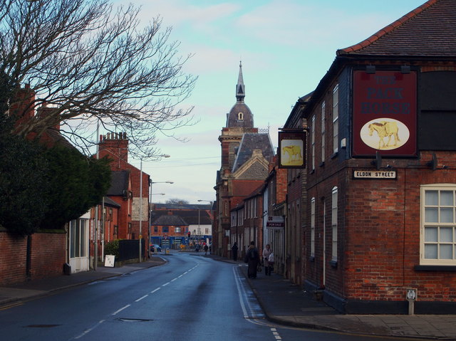
Image: © David Hallam-Jones Taken: 6 Feb 2015
The former Castle Brewery with its Italianate tower looks down on the junction of this road - Albert Street - with Portland Street ahead, i.e. the B6166. Eldon Street with the former Pack Horse Inn (now converted into flats) is a cul-de-sac.
Images are licensed for reuse under creativecommons.org/licenses/by-sa/2.0
Image Location
Latitude
53.072469
Longitude
-0.815009